Two days after temperature was 62 degrees, winter charges back and dumps 4 inches of snow: most snowfall of season so far
A messy mini-Nor’easter complete with heavy snow, sleet and cold rain smacked the Greater Boston and North Shore region hard in the early morning hours Thursday. The late-developing storm began with a drastic drop in temperature into the mid-30s by midday Wednesday, followed with a slushy mix of sleet, rain and snow up until about 1:00 a.m. Thursday.
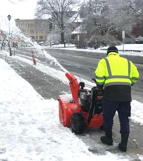
The thermometer went well below freezing into the high 20s after midnight, and heavy snow fell from about 1:00 to 5:00 a.m., dumping up to four inches of snow in The Advocate readership area of Everett, Malden, Revere and Saugus. This was the largest snowfall in one day in the entire 2022-2023 winter to date, in what has been a relatively mild season. Just two days earlier on Presidents’ Day, Monday, Boston set a new February 20 high temperature record of 63 degrees.
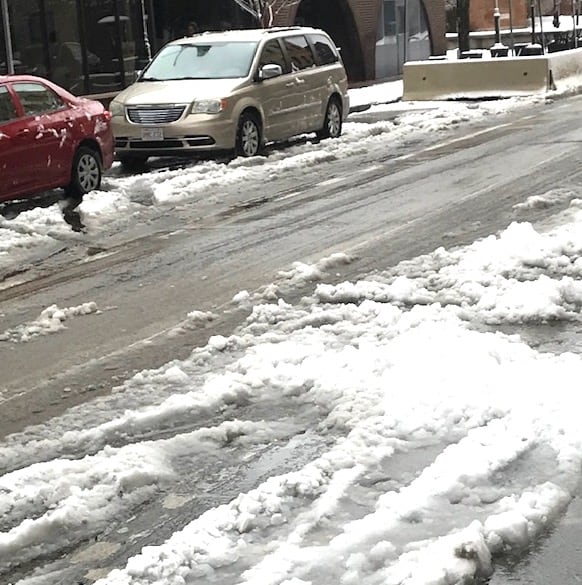
All the elements of weather combined to make it into a mini-nor’easter and sloppy, slow commute for the hundreds of thousands of residents making their way to work early Thursday morning. The snow continued in light fashion for several hours more during the day on Thursday, with not much accumulation. City and town DPW crews and hired help were out in the early morning hours clearing the streets and roadways and spreading salt and sand for safety. State and local police reported a number of motor vehicle accidents both on the highways and in cities and towns due to the hazardous travel conditions and timing of the storm.
The local communities did dodge a potential major issue which could have posed a problem, as all public and parochial schools in the region were closed this week due to February School Vacation. While personnel were out clearing the snow from the school facilities as usual during the storm, it most definitely would have been a “Snow Day” for schools due to the timing of the snow and other weather conditions. It would have been highly unlikely the snow could have been cleared around sidewalks and on the stairs of the schools to make for safe passage.
The weather pattern is forecast to remain sketchy – and more wintry! – for the rest of the month, into March. Colder, more seasonal temperatures in the high 30s and low 40s are sticking around for the next two weeks, according to Accuweather, with more snow expected mid-to-late week, March 1-3, and again, snow is forecast for March 8-10 as Ole Man Winter apparently wants to get his last blasts in before spring officially arrives on Sunday, March 20.